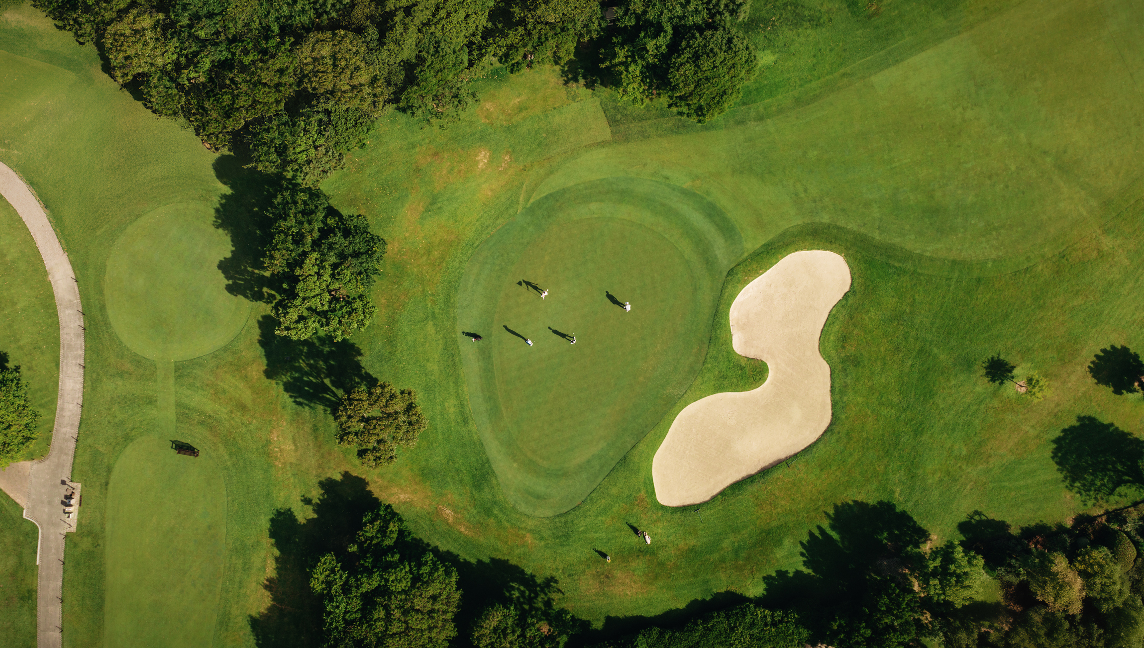
Aerial imagery, topographic surveying, and LiDAR are related tools, but they are not interchangeable. The right choice begins with the project question, required confidence, site conditions, and intended use of the final data. Aerial imagery provides visual context Current orthographic or aerial imagery can show the arrangement of holes, vegetation, water, paths, buildings, and visible course features. It is useful for communication and broad planning. Imagery alone, however, does not automatically establish every elevation, buried feature, boundary, or engineering requirement. Topographic surveys document selected site detail A topographic survey can capture elevations, breaklines, and visible features within an agreed scope. It is commonly used when design or planning decisions depend on site geometry. The project should define limits, features, coordinate requirements, contour needs, and deliverable standards. LiDAR captures dense elevation observations LiDAR can support detailed terrain and surface modeling across suitable areas. Results depend on the acquisition method, vegetation, processing, control, density, and project requirements. A dense point cloud is not automatically a finished design base; classification, interpretation, quality review, and appropriate feature mapping may still be needed. Choose by decision, not by buzzword Use imagery when visual context and current surface appearance are central Use topographic survey work when selected features and elevations must be documented to an agreed scope Consider LiDAR when dense terrain or surface information adds value Combine methods when one source cannot answer every project question Ask these questions before ordering What decisions will the data support? Which areas and features matter? What coordinate basis and accuracy expectations apply? Who will use the files? Are boundaries, utilities, or concealed systems part of a separate professional scope? What field verification and quality documentation will accompany the deliverable? Keep regulatory and operational limits visible Drone operations in the United States may be subject to FAA rules, airspace requirements, and operating limitations. Site access, safety, weather, vegetation, and course activity can also affect collection. These issues should be evaluated for the actual project rather than assumed from a technology label. GeoGolf can help define a suitable topographic mapping scope and related course documentation. Describe your project goals so the deliverable can be matched to the intended use.
Talk With GeoGolf
Have a golf course mapping project in mind?
Tell us what you are planning and our team will help you identify the right next step.
Share This Article
Related Topics
Explore similar content
G
AUTHOR
GeoGolf Team
Our team of expert surveyors and mapping professionals bring decades of combined experience in golf course design, topographic surveys, and advanced mapping technologies. We're passionate about helping golf courses achieve precision and excellence through cutting-edge surveying solutions.