Golf Course Mapping Experience You Can Build On
GeoGolf combines decades of golf-industry experience with survey-grade technology to deliver clear, usable data for design, renovation, construction, and operations.
Our Story
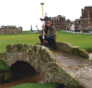
For more than 27 years, GeoGolf has supported golf professionals with mapping and documentation for design, renovation, construction, and operations.
Founded in 1998 and headquartered in Orlando, Florida, with additional offices in the Carolinas, GeoGolf provides golf-course mapping, 3D terrain modeling, irrigation and drainage mapping, site inventory, central-control documentation, and yardage services. The team supports major renovations and large-scale master planning with deliverables organized around each project's requirements.
Project pricing depends on site conditions, scope, deliverables, and travel requirements. GeoGolf can provide a tailored estimate after reviewing the project.
For more than 27 years, GeoGolf has supported golf professionals with mapping and documentation for design, renovation, construction, and operations.
Founded in 1998 and headquartered in Orlando, Florida, with additional offices in the Carolinas, GeoGolf provides golf-course mapping, 3D terrain modeling, irrigation and drainage mapping, site inventory, central-control documentation, and yardage services. The team supports major renovations and large-scale master planning with deliverables organized around each project's requirements.
Project pricing depends on site conditions, scope, deliverables, and travel requirements. GeoGolf can provide a tailored estimate after reviewing the project.
Featured Success Stories
Explore projects where precise mapping, responsive support, and practical deliverables helped teams plan and execute with confidence.

Monterey Peninsula CC
Comprehensive Mapping
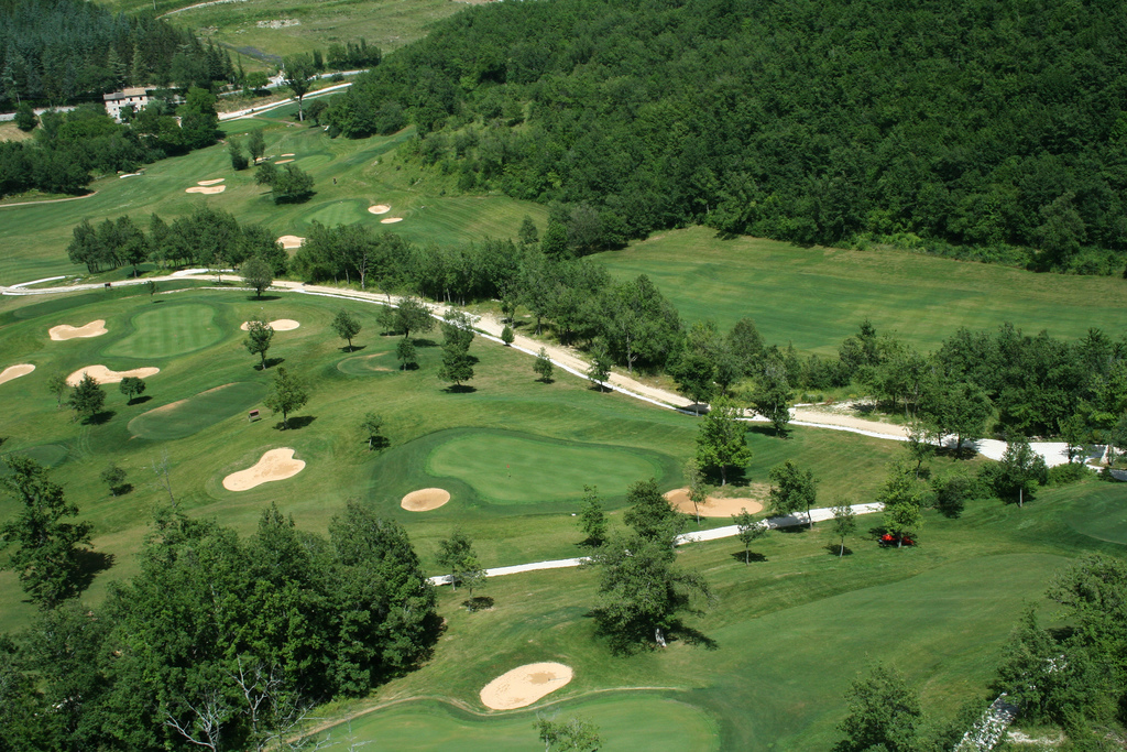
Monterey Peninsula Country Club selected GeoGolf to provide asset inventory, topographic and utilities mapping, and high-resolution aerial photography across its 550-acre property for renovation and master planning. The mapping package helped the design and construction teams coordinate information during planning and build phases.
GeoGolf combined field data and aerial imagery into organized project documentation for architects, engineers, and course superintendents.

Metrowest Golf Club
Billing Documentation
GeoGolf was engaged by Metrowest Golf Club in Orlando, Florida, and Lake Cumberland Golf Club in Jamestown, Kentucky, to map renovated areas and support subcontractor billing review. The resulting documentation gave each club a clearer record of completed work and updated course conditions.
Independent mapping can help golf courses verify design and construction changes, confirm invoices, and maintain organized records for future work.

Falconhead
Renovation Planning
Falconhead Golf Course in Austin, Texas, partnered with GeoGolf on a multi-year renovation and long-term planning effort. GeoGolf provided topographic mapping, master planning, and irrigation and drainage as-built mapping for the superintendent and course architect.
The project also included 3D yardage books, 3D flyovers, scorecard measuring and printing, irrigation yardage tags, signage, and aerial photography, giving the team organized data and player-facing materials from one project scope.
Golf Course Mapping Experience
From championship venues to private clubs and public courses, we help teams make better decisions with dependable spatial data.