Professional As-Built Documentation
As-Built Mapping Services

Build with Confidence

Receive precise, verified as-built documentation that protects your investment and streamlines every future renovation.

Bundled Options Available

Core AS-BUILTS Services

High-precision as-built documentation designed to validate installations, streamline maintenance, and support future course improvements.

Core Service
Exact Area Calculation As-Builts

Exact Area Calculation As-Builts

Know the exact square footage, linear footage and acreage of all your course features, including:

Greens

Tees

Fairways

Sand Bunkers

Cart Paths

Water Hazards

Landscape Areas

Practice Facilities

Clubhouse

Parking Lots

Core Service
Irrigation

Irrigation

Detailed documentation of installed irrigation infrastructure with precise pipe routing and head locations, including:

Mainline Mapping

Lateral Positioning

Head Documentation

Control Systems

Core Service
Drainage

Drainage

Map all drainage inlets, outlets, and piping for:

Improved turf growth

Minimize course damage

Reduced turf diseases/fungus

Better play surface

Faster golf rounds

Programming Background

Irrigation System Mapping & Central Control Integration

Programming

Irrigation Central Control Programming

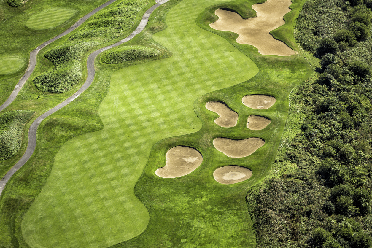
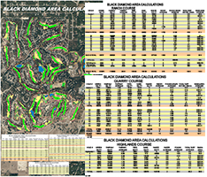
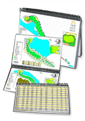
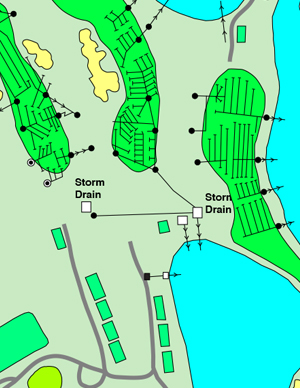
GeoGolf provides services to integrate mapping data directly with systems like Toro, Lynx, and Rain Bird, ensuring accurate schedules and efficient water use. Data is provided for direct upload.

  • Updateable files
  • Updateable PDF maps
  • New PDF map files provided
  • 2 years free updates
  • Maintain more control over your watering programs
  • Save water and time with this proven system
Irrigation Central Control Programming Image

Trusted with Major Platforms

Control System

Toro LYNX®

Programming and conversion services for precision irrigation control.

Control System

Toro SitePro/TMap™

Central control system integration and mapping solutions.

Control System

Rainbird Cirrus/Nimbus™

Central control system compatibility and documentation.

We work with all major irrigation control systems to provide comprehensive mapping and documentation services.

Aerial Photography

Aerial Photography

GeoGolf provides high-resolution aerial photography tailored for golf course planning, renovation, and documentation. We capture accurate, georeferenced visuals that serve as the foundation for mapping, design, and master planning. Our aerial imagery delivers the detail needed to analyze site conditions, verify construction progress, and showcase completed projects with precision and clarity.

Low Cost Add-Ons

Small line‑items, big impact. Enhance your deliverables without breaking the budget.

Yardage Measuring & Tagging

Accurate distance measurements from key points on every hole, tagged directly to course maps for signage, GPS, and player reference.

Scorecard Measuring & Design

Precise hole data and layout measurements used to create or update official course scorecards with accurate yardages and visual clarity.

3D Pin Sheets

Detailed, visually enhanced green maps showing elevation changes and pin placements for tournament management, player strategy, and maintenance planning.

Ready to Get Started?

Contact us today for a free consultation and bundle pricing on comprehensive as-built services for your golf course.

Get Free Quote
Get Free Quote