Elite Golf Course Championship Design

Clients

From championship courses to exclusive private clubs, discover how we've helped transform golf courses with precision mapping and innovative solutions.

500+
Golf Courses Mapped
50+
Top 100 Golf Courses
27+
Years Experience

Featured Success Stories

Explore how our precision mapping solutions have transformed world-class golf courses and enhanced player experiences.

Case Study
Monterey Peninsula Country Club

Monterey Peninsula Country Club

Cost Savings

GeoGolf was selected to provide comprehensive asset inventory, topographic and utilities mapping, and aerial photography across the 550-acre Monterey Peninsula Country Club as part of a complete renovation and new master plan. The project was completed on time and delivered $19,000 under the nearest competing bid. GeoGolf’s commitment to precision, efficiency, and budget adherence ensures exceptional results and measurable savings for clients on large-scale mapping projects worldwide.

Case Study
Metrowest Golf Club

Metrowest Golf Club

Billing Accuracy

GeoGolf was engaged by Metrowest Golf Club in Orlando, FL, and Lake Cumberland Golf Club in Jamestown, KY, to map all renovated areas and verify subcontractor billing. In both cases, our mapping revealed that the areas completed were smaller than those invoiced—saving each club money and ensuring billing accuracy. Independent verification from GeoGolf protects your investment and ensures you only pay for what’s completed.

Case Study
Falconhead

Falconhead

Project Efficiency

GeoGolf was hired by Falconhead Golf Course in Austin, TX, for a large multi-year project that included topographic mapping, master plan development, and irrigation and drainage as-built mapping for the superintendent and course architect. By leveraging GeoGolf’s precise mapping data and visual materials, the project team secured budget and master plan approval—saving time, money, and resources through efficient planning and execution.

What Our Clients Say

Hear from golf course professionals who have experienced the GeoGolf difference firsthand.

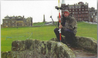
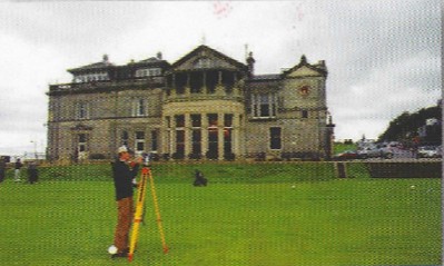
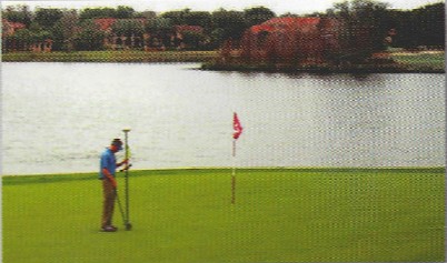
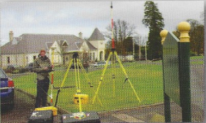
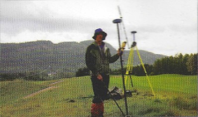
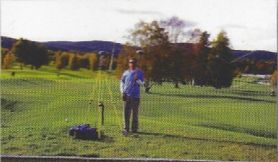
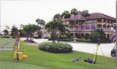
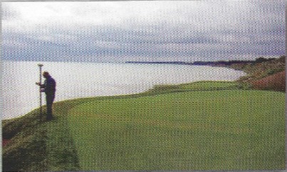
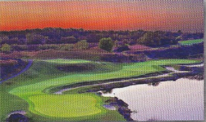
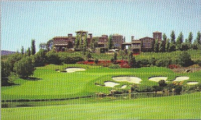
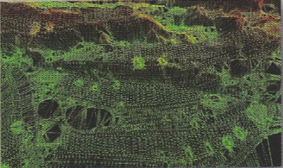
"We worked with GeoGolf on two projects across five courses and couldn’t be happier. They handled 3D modeling, GIS mapping, LIDAR scanning, aerial photography, and yardage tagging—finishing ahead of schedule and going the extra mile. It’s clear they love what they do."
Gordon Moir
Director of Agronomy
St. Andrews Links Trust The Old Course, The New Course, The Jubilee Course, The Strathtyrum Course
"We worked with GeoGolf Mapping on two projects—3D mapping of Whistling Straits and asset inventory, topography, and aerial photography of The Dukes Course in St. Andrews. Despite the challenges, they delivered on time without disrupting play. Working with Jeff Szukalski and his team was an excellent experience, and I’d recommend them to anyone."
Steve Friedlander
GM and Director of Golf
Kohler Co. Whistling Straits (Straits & Irish), Blackwolf Run (36 holes) Dukes Golf Course, St. Andrews, Scotland
"GeoGolf has been our go-to for GPS As-Built and Topography needs for over 7 years. They consistently deliver outstanding quality at affordable prices. Notable projects include large-scale site inventories, topographic maps, and detailed renovation contours. We’re very impressed with their work and will continue to rely on them."
Andy Banfield and Matt Yates
Fazio Golf Course Design

Chosen by Leading Courses Worldwide

From championship venues to hidden gems, we help the best stay at their best.

Get Free Quote
Get Free Quote