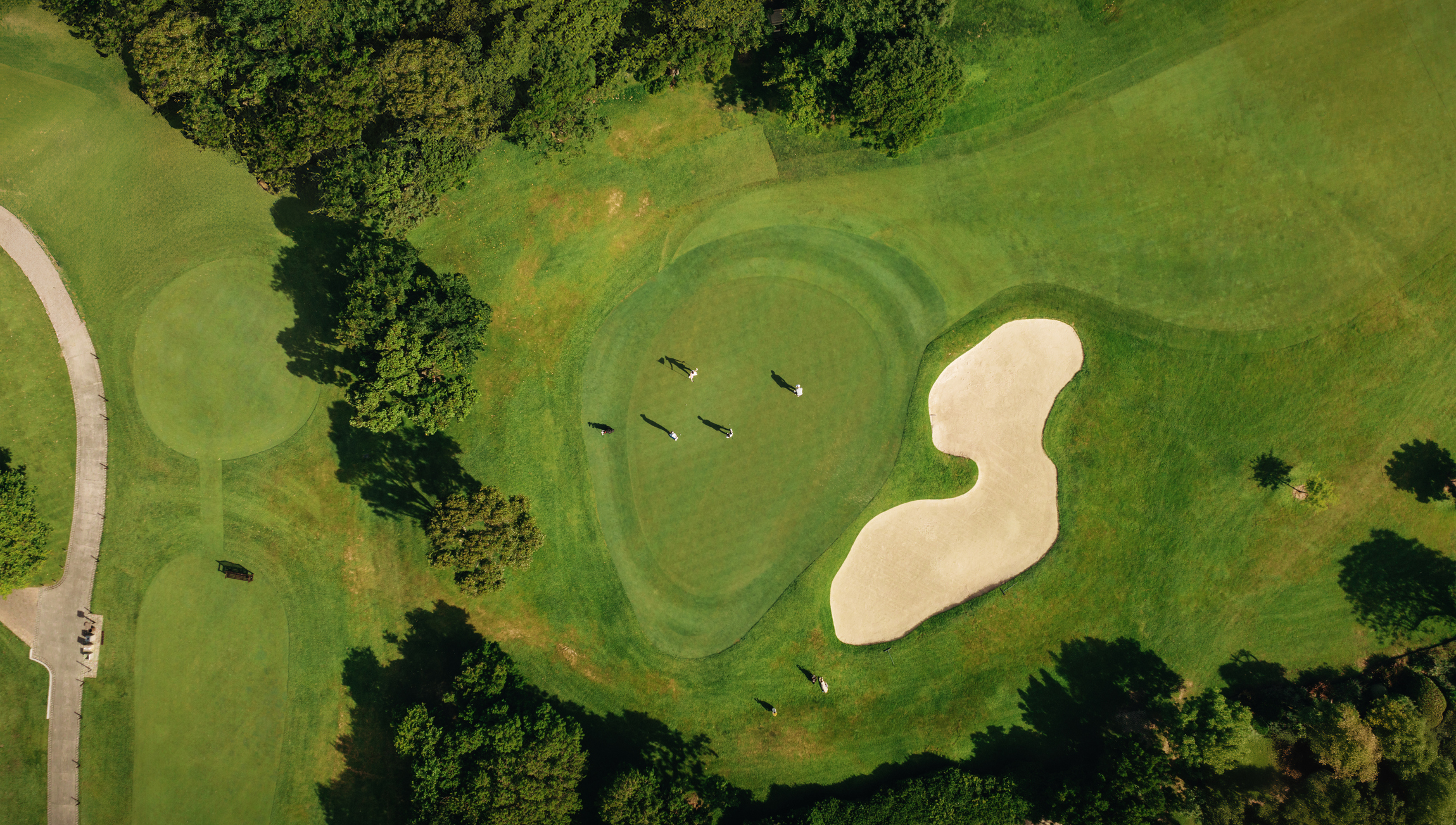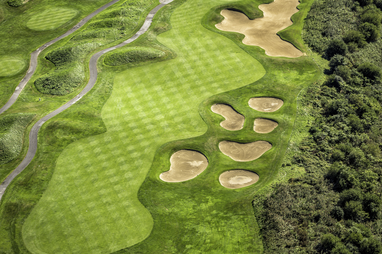
A golf course topographic survey documents existing terrain and agreed site features so architects and renovation teams can work from a shared reference. The useful question is not simply how many points a system collects, but whether the delivered data supports the decisions the project needs to make.
Start with the intended design use
Course routing, green restoration, bunker work and drainage planning can need different coverage and detail. Identify the project boundary, features, coordinate reference, file format and design tolerances before selecting a capture method. GeoGolf's topographic survey service describes course contours, green and bunker mapping and CAD-related outputs.
Separate detail from accuracy
Image resolution, point density, contour interval and checked positional accuracy are different measures. A dense point cloud or a closely spaced contour display does not prove millimeter or centimeter accuracy. Site conditions, vegetation, control, survey method and independent checks affect the suitability of the result. Request the horizontal and vertical verification requirements needed by the design team.
Use terrain as one design input
Contours and terrain models help teams examine elevation changes, low points and proposed grading. They do not independently establish soil stability, infiltration, buried services or groundwater. Engineering, utility locating and geotechnical work remain separate where required. A visually plausible design is not proof of drainage performance.
Define the handover
Agree the CAD or GIS format, units, layer names, boundary, source information and revision process. If imagery or a 3D model is needed, include it explicitly. State which areas and features were observed, supplied from records or excluded. Compare the deliverable against the intended use before it becomes a reference for further work.
See project context
GeoGolf's Monterey Peninsula Country Club project describes aerial imagery, terrain, GIS, utility and planimetric mapping for renovation and master planning. It is evidence of previous scope, not a blanket performance or accuracy promise. The 3D modeling page explains the distinction between terrain data and presentation imagery.
Prepare a useful inquiry
Share the course, approximate area, design stage, existing drawings and desired date. The published BASE and PLUS packages start at $5,900 and $11,900 respectively, excluding travel. Confirm the actual extent and exclusions in the estimate rather than assuming a universal acreage allowance.
Discuss a topographic survey scope. Detailed map geometry can follow the initial inquiry.