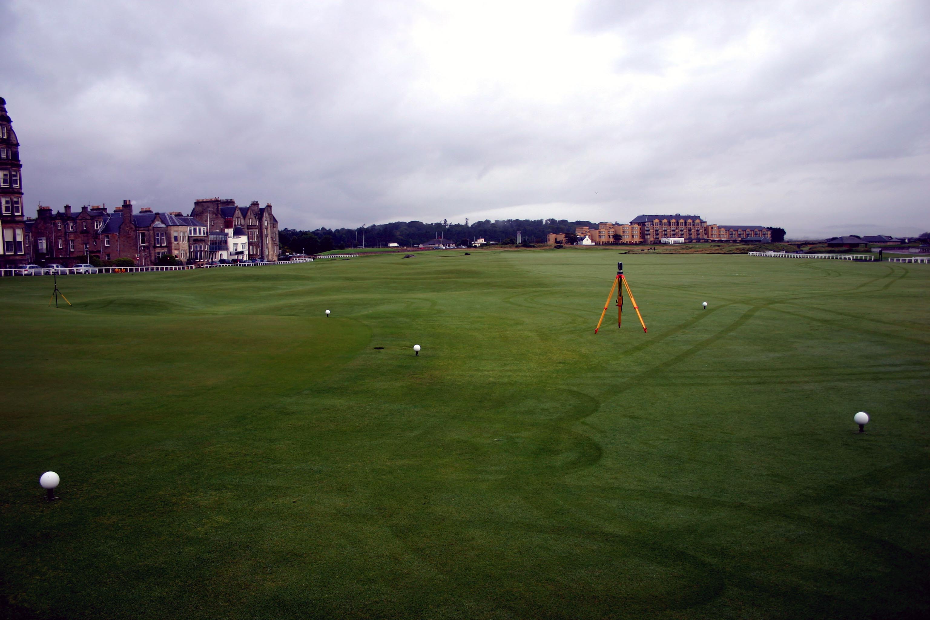
Monterey Peninsula Country Club
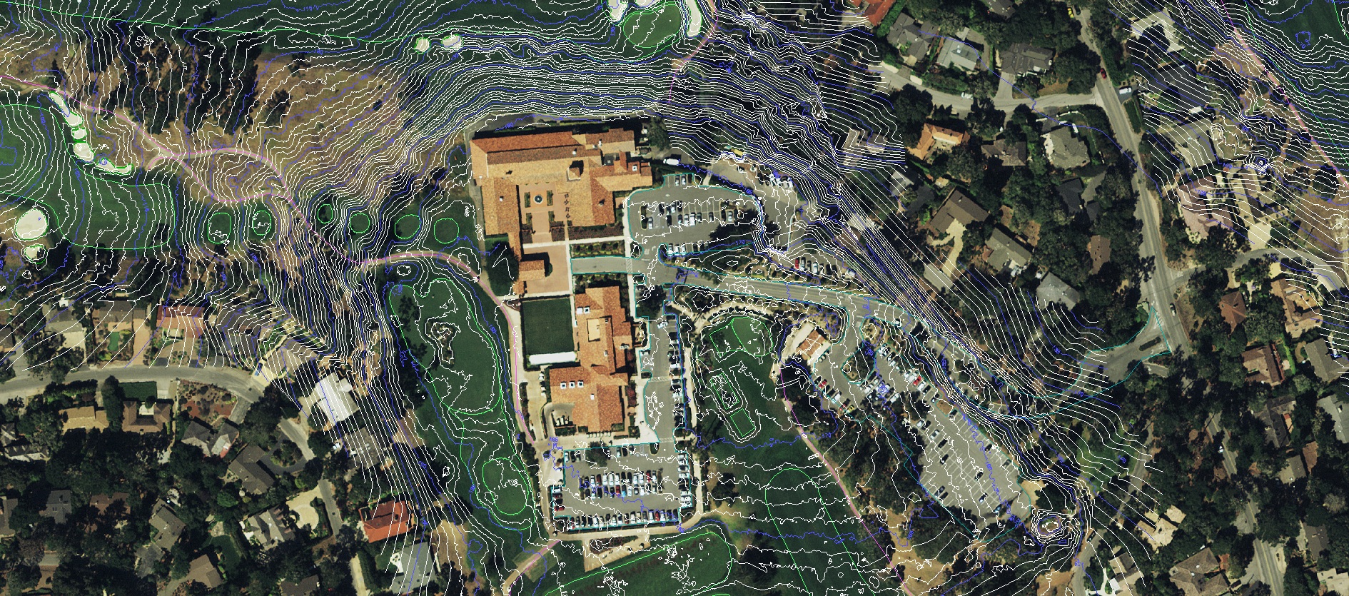
Full Property Aerials, 3D Terrain, GIS, and Planimetrics
Monterey Peninsula Country Club
Monterey, California
Monterey Peninsula Country Club selected GeoGolf for comprehensive aerials, 3D terrain, GIS, and planimetric mapping across the Shore and Dunes courses.
"We selected GeoGolf for this special project because they have a proven track record of creating the best 3D maps and plans in the industry. They have a broad scope of services that will help us through our renovation process. Not only that, but their price was well below all the other bids."
— Michael Bowhay, General Manager at MPCC
About GeoGolf
Established in 1998, GeoGolf is headquartered in Orlando, Florida and also has offices in the Carolinas. GeoGolf was the original mapping company which helped develop the Shotlink/Tourcast programs for the PGA Tour. With over 500 projects completed on 6 continents, GeoGolf is the undisputed leader in GPS Mapping, 3D Modeling, Irrigation & Drainage Mapping, Site Inventory, Central Control Programming, and Yardage Services in the golf industry.
Price Guarantee Available - Best Value in Golf Course Mapping Services
Contact Information
Experience Precision Golf Mapping
Elevate your course with aerial imagery, 3D terrain models, GIS, and planimetric mapping — delivered with accuracy and speed.