Gateway Golf & Country Club
Aerial Mapping, 3D Terrain, GIS, Signage, Yardage, and Master Planning
Gateway Golf & Country Club
Florida's Gulf Coast
GeoGolf's published material describes mapping work for Gateway Golf & Country Club and Olde Hickory Golf & CC during large-scale renovation and master-planning projects.
Project need
The projects required course and asset information to support layout, design, drainage and master planning.
Scope and method
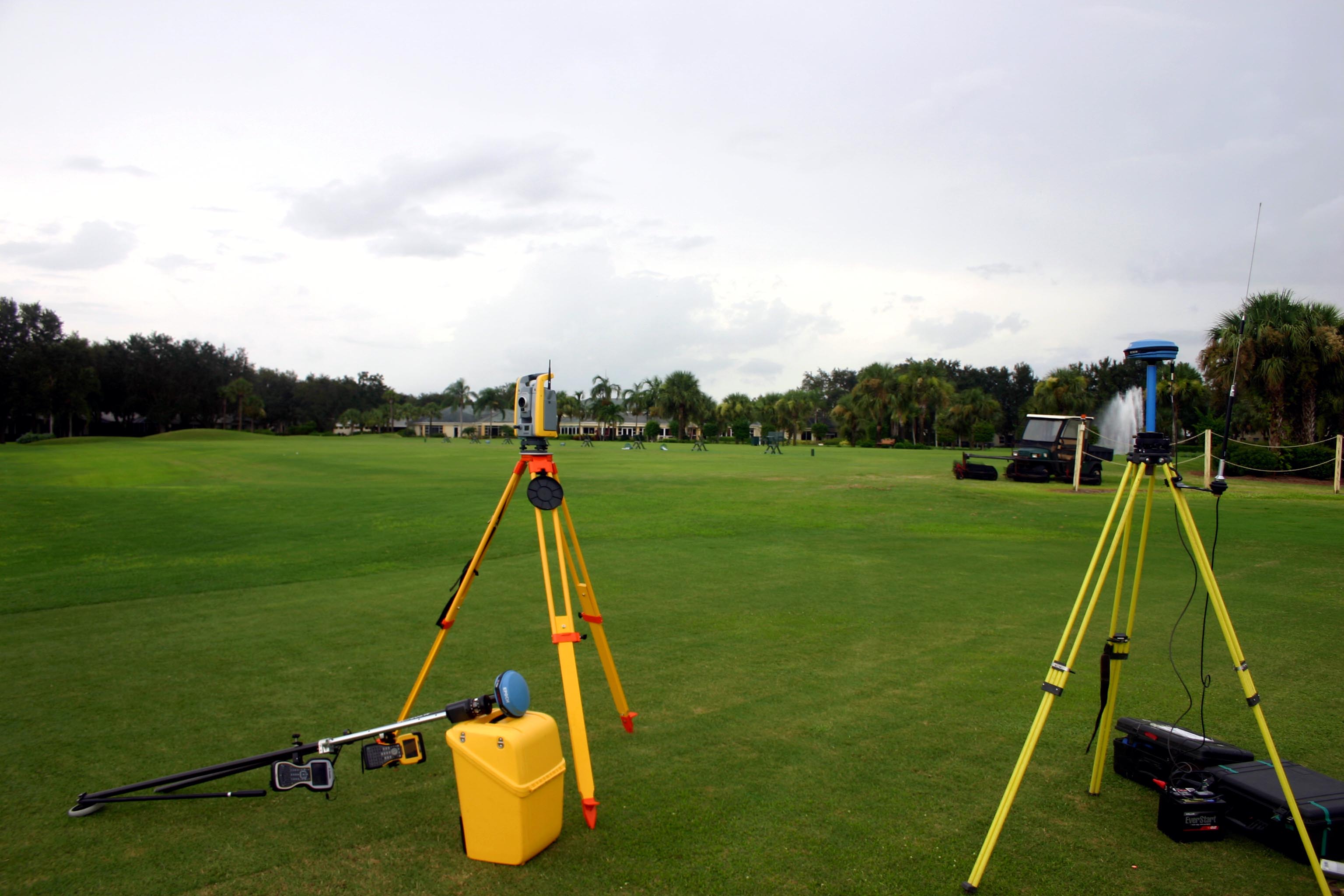
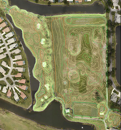
The published scope includes aerial photography, 3D terrain modeling and GIS services, together with course-feature, irrigation, drainage, building, utility and road information.
Deliverables and use
Asset inventory mapping supported renovation planning. The published account also describes signage, irrigation as-builts and yardage tags or measurement as part of the wider service scope.
Evidence boundary
The public summary does not provide complete survey files, project dates or measured cost or water savings. It describes prior scope, not a promise of the same results on another property.
Related services
About GeoGolf
Established in 1998, GeoGolf provides golf course mapping, surveying and course materials. Contact GeoGolf to discuss the scope for your project.
Experience Professional Golf Mapping
Discuss the mapping or course materials needed for your project.