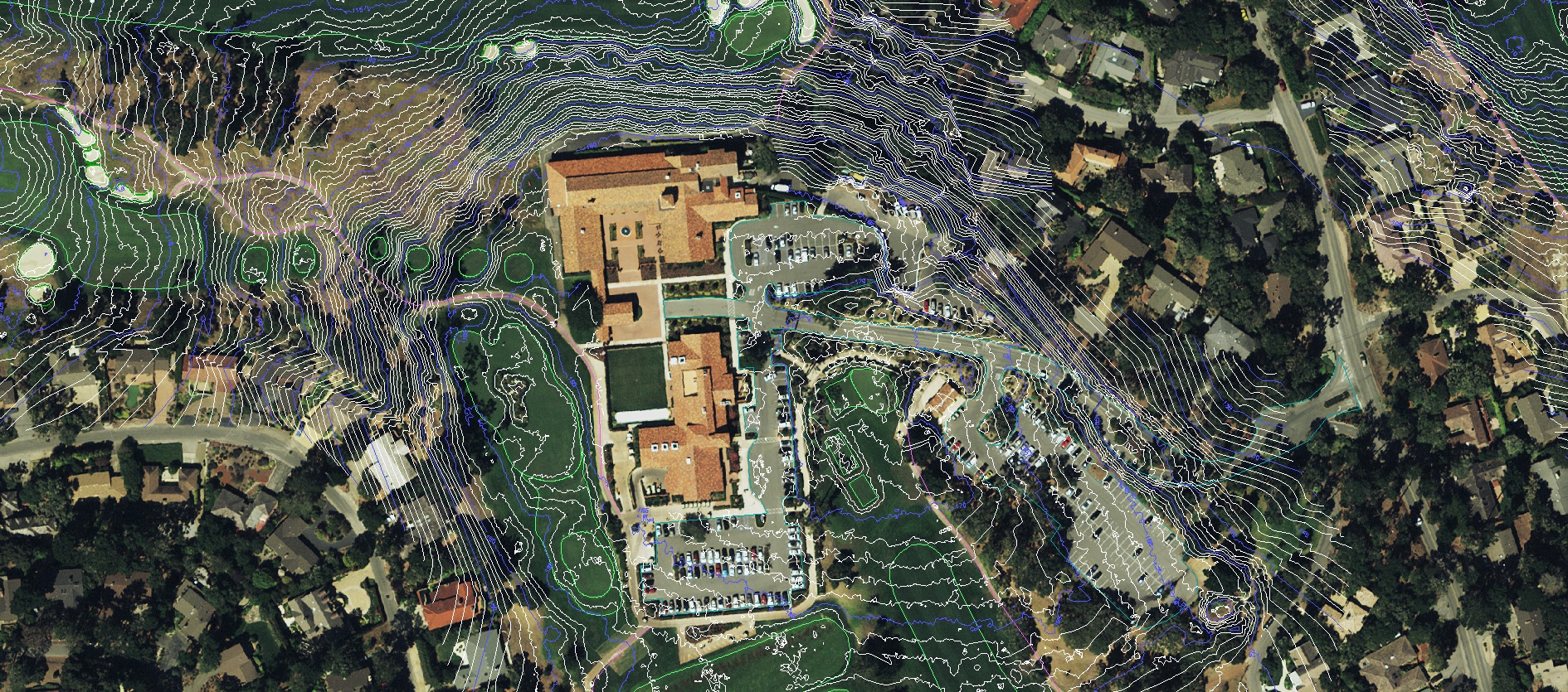
Monterey Peninsula Country Club
Aerial Imagery, 3D Terrain, GIS, Utilities, and Planimetric Mapping

Monterey Peninsula Country Club
Monterey, California
GeoGolf's published project material describes aerial imagery, 3D terrain, GIS, utility and planimetric mapping for the Shore and Dunes courses, supporting renovation and master planning.
Project need
The course team needed a property-wide reference for renovation and a new master plan.
Scope and method
The documented scope combined aerial photography with terrain, asset inventory, utility and planimetric mapping.
Deliverables and use
Course imagery, terrain and organized property layers provided reference information for layout, design and renovation coordination.
Evidence boundary
Historical summaries contain differing acreage figures. This page does not select an unverified acreage or repeat comparative savings claims. Full survey specifications, dates and independently checked accuracy are not published here.
Related services
About GeoGolf
Established in 1998, GeoGolf provides golf course mapping, surveying and course materials. Contact GeoGolf to discuss the scope for your project.
Contact us for a tailored service scope and project estimate.
Experience Precision Golf Mapping
Discuss the mapping or course materials needed for your project.