St. Andrews Links Trust
3D Modeling, LIDAR Scanning, Yardage Services, Planimetric Mapping & Aerial Photography
St. Andrews Links Trust
St. Andrews, Scotland
GeoGolf was selected for 3D modeling, topographic and GIS mapping, terrain LiDAR scanning, yardage services and aerial photography for St. Andrews Links Trust courses.
Project need
The published project describes digital mapping of historic courses, including data for a video-game implementation.
Scope and method
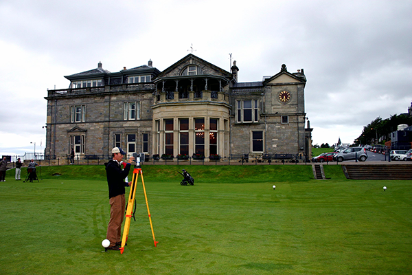
Existing project material describes terrain LiDAR scanning with survey GPS and robotics, alongside aerial photography and course-feature mapping.
Deliverables and use
The described work includes 3D models, topographic and planimetric mapping, GIS data and yardage information. These provide a digital course reference for the stated project use.
Evidence boundary
This is a summary of GeoGolf's published project material. Capture dates, complete survey files and independent accuracy checks are not supplied on this page. No universal accuracy, savings or delivery result is inferred.
Related services
About GeoGolf
Established in 1998, GeoGolf provides golf course mapping, surveying and course materials. Contact GeoGolf to discuss the scope for your project.
Get Started Today
Discuss the mapping or course materials needed for your project.