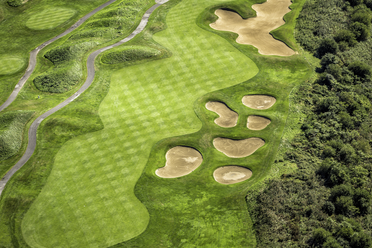
Aerial imagery provides a course-wide reference for planning, renovation and communication. Its value depends on the source, coverage, processing and checks needed for the task. A drone flight is a capture option, not in itself a complete survey specification.
Choose the output before the aircraft
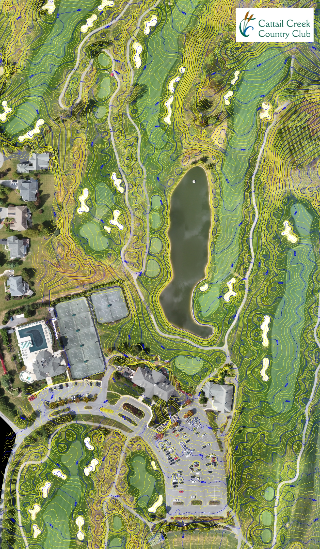
Decide whether the project needs a visual overview, an aligned aerial basemap, feature mapping or survey-derived terrain data. Existing suitable imagery may be useful; new capture may be needed where coverage, date or detail is unsuitable. GeoGolf's aerial mapping service explains the commercial scope and questions to include in an inquiry.
Understand site constraints
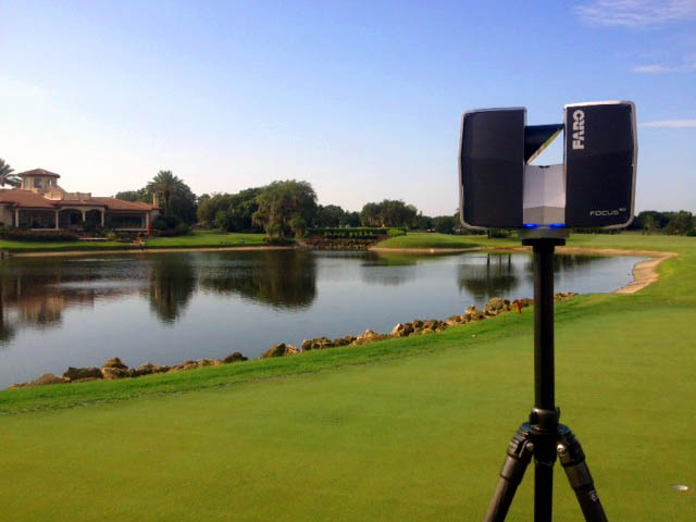
Airspace, access, weather, vegetation and the condition of the site affect feasible capture methods and timing. Ground observations or a different survey method may be needed where the surface is obscured or the required design tolerance cannot be supported by imagery alone. A historic project photograph does not establish which aircraft or sensor was used.
Resolution is not checked accuracy
A small image pixel size or dense model is not a guarantee of horizontal or vertical positional accuracy. Specify the intended use, coordinate system, control and independent checks separately. Ask how areas obscured by trees, structures or other features are treated and recorded.
Keep maintenance interpretation qualified
Imagery can show visible surface patterns, changes and areas to investigate. Ordinary aerial photographs do not independently measure subsurface moisture, diagnose soil instability or locate buried irrigation pipes. Turf, drainage and geotechnical conclusions require the appropriate observations, sensors and specialist investigation. Do not treat an attractive image as a diagnosis.
Use actual project context
GeoGolf's Monterey project describes aerial photography with terrain, GIS, utility and planimetric mapping. The St. Andrews project also includes aerial photography alongside 3D and LiDAR work. These examples support discussion of previous scope without promising a specific saving or result for a new course.
Define a usable handover
Agree the area, source date, resolution, file format and any required CAD or GIS alignment. Include topographic data or terrain modeling expressly when needed. Additional capture, repeated visits and specialist interpretation should not be assumed to be included.
Discuss an aerial mapping project with the course location, intended use, existing imagery and desired date.