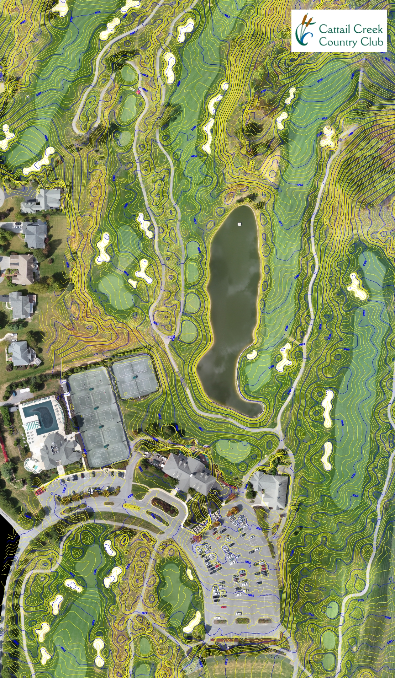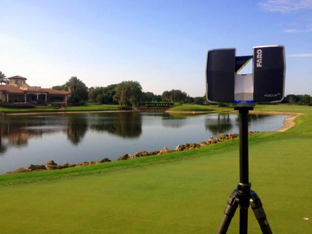
Golf course architects, contractors and operators use mapping at different stages of a project. A useful scope makes those handovers explicit: what is needed now, who will use it and what will need to be updated after the course changes.
Concept and existing conditions
Begin with the area, features and level of detail needed for routing or renovation decisions. Existing imagery and records may help establish context, while a topographic survey can provide agreed terrain and feature data. The source, age and limits of each dataset should remain clear.
Design coordination
Agree coordinate reference, units, file format and the interfaces between architectural, engineering and irrigation work. A 3D terrain model may help examine elevations or communicate options, but a presentation rendering and an engineering-use model are not interchangeable. Required accuracy and checks belong in the project specification.
During construction
Mapping and updates can support coordination, but do not replace the contractor's or designer's responsibilities. Define whether repeat surveys, setting-out, changed-condition records or other site visits are actually included. Revisions and field checks require a specific scope and schedule.
Renovation handover
The maintenance team may need more than a contour drawing. As-built documentation can organize agreed course and infrastructure layers. Irrigation records focus on assets, identifiers and the relevant control-system information. Unknown buried routes should not be presented as field-verified simply because a line appears on an old plan.
A published project example
The Gateway and Olde Hickory project summary describes aerial photography, 3D terrain, GIS and asset information for renovation and master planning, alongside signage and yardage-related scope. It shows how mapping and course materials can serve different teams without treating every deliverable as part of every package.
Plan the request around the buyer
An architect can share the survey boundary and target software. An irrigation manager can identify the controller platform and record gaps. A course operator ordering signs or course materials can start with product types, quantities and artwork. Detailed survey accuracy and map geometry are not prerequisites for those initial product inquiries.
Request a project-specific mapping estimate. Include the course, project stage, intended users and desired date.