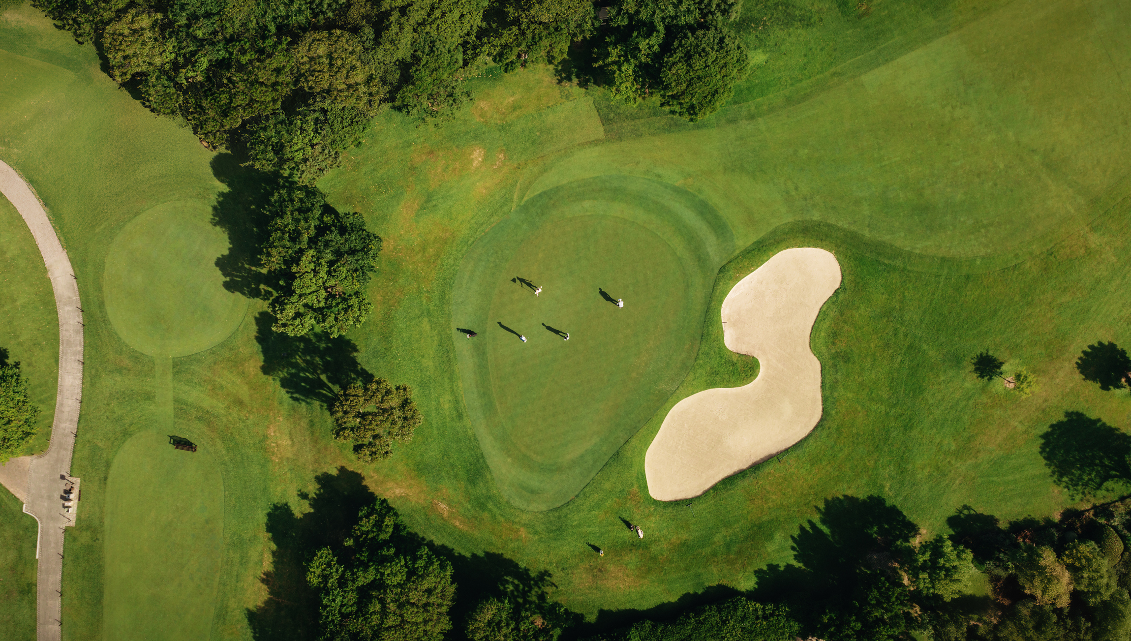
A long-term master plan benefits from a reliable picture of the course as it exists today. The planning team needs more than a base image: it needs current records, operational knowledge, priorities, constraints, and an understanding of which information is verified. Project goals and decision context Why the plan is being prepared Known playability, maintenance, safety, or infrastructure concerns Expected project horizon and phasing Budget and operational constraints Stakeholders and approval responsibilities Current mapping and site information Assemble available topographic mapping, aerial imagery, property information, irrigation and drainage plans, utility records, environmental information, and renovation drawings. Record the date and source of each item. Older plans may remain useful, but they should not be mistaken for current verified conditions. Course and facility inventory Identify greens, tees, bunkers, fairways, practice areas, paths, water features, buildings, maintenance areas, access points, significant vegetation, and other features relevant to the plan. The required detail should follow the decisions being considered. Operational knowledge Superintendents and staff often know where drainage repeatedly fails, where irrigation coverage is difficult, which areas receive heavy traffic, and where undocumented changes occurred. Capture that knowledge in a structured way so it can be compared with mapping and field observations. Infrastructure records Include known irrigation, drainage, pump, control, electrical, water, and other utility information relevant to planned work. Mark whether features are field verified, taken from records, or approximate. This prevents a clean-looking plan from hiding uncertainty. Planning outputs Agree on how alternatives, priorities, phases, cost discussions, and mapping updates will be organized. The American Society of Golf Course Architects describes master planning as an ongoing process that helps clubs evaluate needs and make informed improvements over time. The base data should be maintainable as those decisions evolve. Data review meeting Before design work advances, bring together the owner, course leadership, superintendent, architect, and relevant consultants. Review gaps, conflicts, and items requiring additional fieldwork. This meeting helps the team spend resources on information that will affect decisions. GeoGolf's topographic , irrigation , and as-built mapping services can support a coordinated planning record. Request an estimate with the course location, planning goals, and available records.
Talk With GeoGolf
Have a golf course mapping project in mind?
Tell us what you are planning and our team will help you identify the right next step.
Share This Article
Related Topics
Explore similar content
G
AUTHOR
GeoGolf Team
Our team of expert surveyors and mapping professionals bring decades of combined experience in golf course design, topographic surveys, and advanced mapping technologies. We're passionate about helping golf courses achieve precision and excellence through cutting-edge surveying solutions.