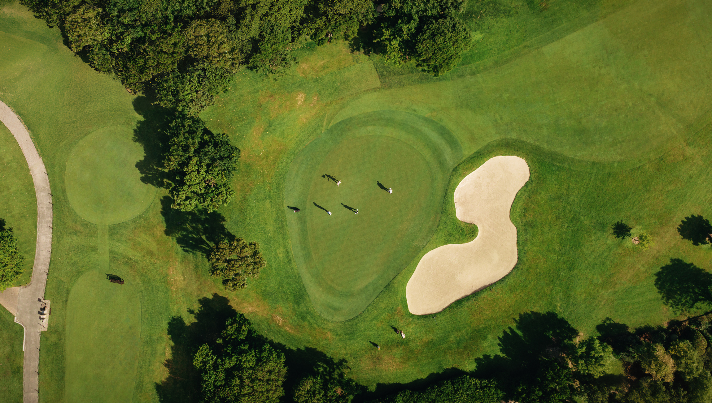
Golf course renovation decisions rarely involve terrain alone. Drainage, irrigation, utilities, access, vegetation, and playing features interact. When each discipline relies on a separate drawing with different dates or references, conflicts are easier to miss. A shared base reduces ambiguity A coordinated base map gives the project team a common spatial reference. Existing contours and visible course features establish context, while known infrastructure layers show where proposed work may affect operating systems. The map should clearly distinguish measured information, record information, and items that remain uncertain. Topography explains movement Terrain influences surface drainage, grading, visibility, construction access, and design intent. Relevant breaklines, slopes, banks, paths, greens, tees, bunkers, and water features help the team understand how the site currently works. Infrastructure explains constraints Irrigation and drainage systems may cross proposed grading or construction areas. Known utilities and control features can also affect sequencing and risk. Coordinating these layers early supports better questions before excavation begins. Useful coordination practices Use a consistent coordinate reference and drawing origin Record the source and date of every major layer Separate field-verified features from approximate legacy records Use clear symbols, labels, and layer names Track revisions as design and construction progress Provide a process for resolving conflicts and unknowns The base map is not the final as-built A renovation base represents known existing conditions at a point in time. Construction changes should be captured through a defined update and as-built process. Without that handover, the course may finish with improved infrastructure but outdated records. Scope the map around decisions The right level of detail depends on the renovation. A targeted bunker or green project may need focused coverage, while a course-wide master plan requires broader coordination. The American Society of Golf Course Architects emphasizes long-term planning and informed renovation decisions; the mapping scope should support that process rather than collect detail without purpose. Explore GeoGolf's topographic mapping , irrigation mapping , and as-built documentation . To define a coordinated base for a planned renovation, request an estimate .
Talk With GeoGolf
Have a golf course mapping project in mind?
Tell us what you are planning and our team will help you identify the right next step.
Share This Article
Related Topics
Explore similar content
G
AUTHOR
GeoGolf Team
Our team of expert surveyors and mapping professionals bring decades of combined experience in golf course design, topographic surveys, and advanced mapping technologies. We're passionate about helping golf courses achieve precision and excellence through cutting-edge surveying solutions.