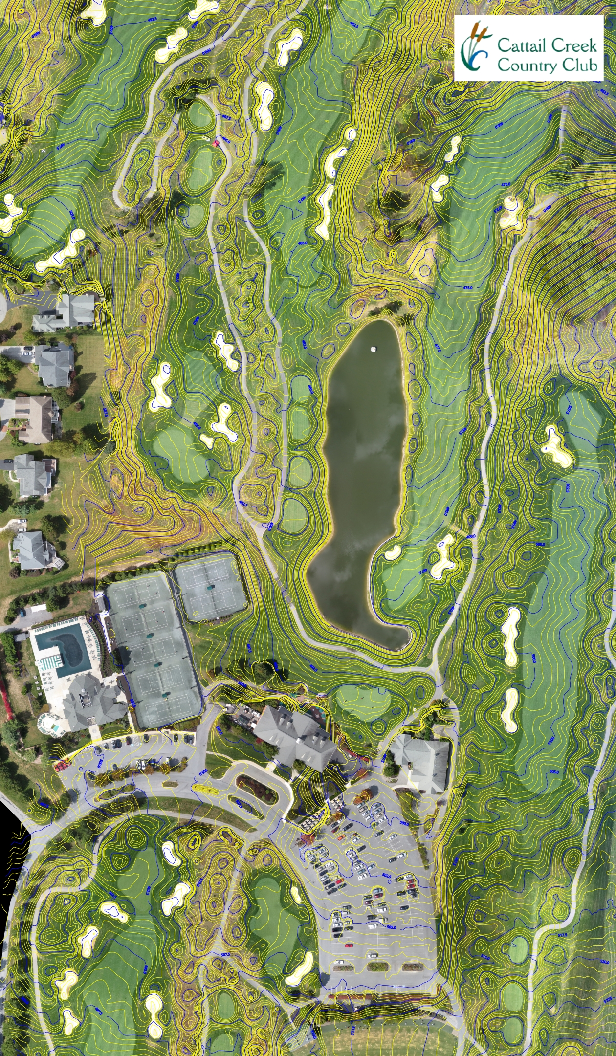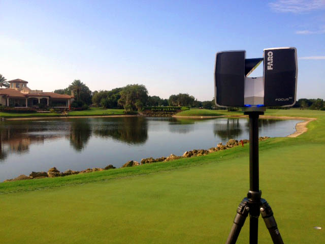
A well-prepared topographic survey begins before fieldwork. Clear limits, reliable records, safe access, and an agreed deliverable reduce uncertainty and help the mapping team focus on the features that matter to the project. Define the purpose first Explain whether the survey will support a renovation, drainage review, irrigation work, master planning, construction documentation, or another use. The purpose affects the area, feature detail, and coordination required. A design team may need a different base than a maintenance department preparing an asset inventory. Confirm the survey limits Provide a marked plan or clear description of the required coverage. Note whether the work includes the entire property, selected holes, practice areas, clubhouse surroundings, maintenance facilities, access roads, or off-course connections. Also identify areas that should not be entered. Gather existing information Previous surveys and record drawings Irrigation, drainage, and utility plans Property or boundary information available to the owner Renovation drawings and recent change records Known control points, benchmarks, or coordinate requirements Contact details for the architect, superintendent, engineer, and contractor Existing material helps planning, but its age and reliability should be stated. Conflicts can then be checked instead of silently carried into a new map. Coordinate access and course operations Discuss tee times, tournaments, maintenance windows, restricted areas, cart access, gates, and local safety procedures. Identify a course contact who can answer field questions. Where buried assets must be located, arrange the appropriate records, markings, or staff assistance in advance. Agree on features and deliverables List the visible features and terrain information required, along with the intended file types, coordinate system, contour requirements, drawing organization, and review process. Avoid relying on a general request for “a topo” when a project needs specific information. Review before design begins When the initial deliverable is ready, the project team should review limits, labels, unusual conditions, and unresolved items. Early review is easier than discovering a missing area after design work has started. GeoGolf provides golf course topographic mapping for planning and project coordination. To discuss the limits and intended use of your course, request a project estimate .
Talk With GeoGolf
Have a golf course mapping project in mind?
Tell us what you are planning and our team will help you identify the right next step.
Share This Article
Related Topics
Explore similar content
G
AUTHOR
GeoGolf Team
Our team of expert surveyors and mapping professionals bring decades of combined experience in golf course design, topographic surveys, and advanced mapping technologies. We're passionate about helping golf courses achieve precision and excellence through cutting-edge surveying solutions.